Remote sensing and GIS
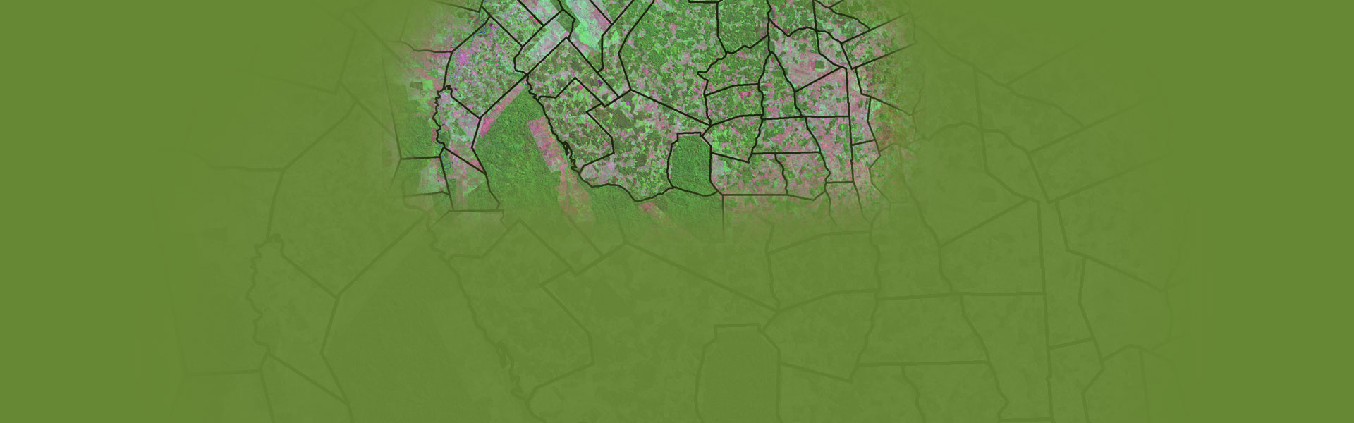
Remote sensing is the technique of deriving information about objects on the surface of the earth without physically coming into contact with them. Using various sensors. Remote sensing data can be interpreted by digitally in computer through various remote sensing softwares.
GIS is in organized collection of computer hardware, software, geographic data and personnel designed to efficiently capture, store, update, manipulate analyze and display all forms of geographically referenced information. GIS study includes geographic data processing, editing, manipulation, management, analysis, display and output of geographic informationRemote Sensing & GIS study carried out in the areas of –
Land use / Land cover analysis
Topographic map overlays
Buffer Generation & Proximity Analysis
Spatial and logical query
Forest and vegetation
Soils and regional degradation
Urban and regional planning

About Environment
“ Climate change affects us all, but it does not affect us all equally. The poorest and most vulnerable – those who have done the least to contribute to global warming – are bearing the brunt of the impact today ”
Ban Ki-moon, Secretary General, UN