01. GIS & Remote Sensing Applications
Project Location & Satellite Data
Land Use / Land Cover Map
LULC Statistics & Distribution
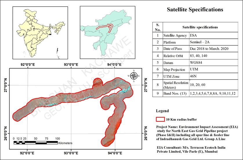
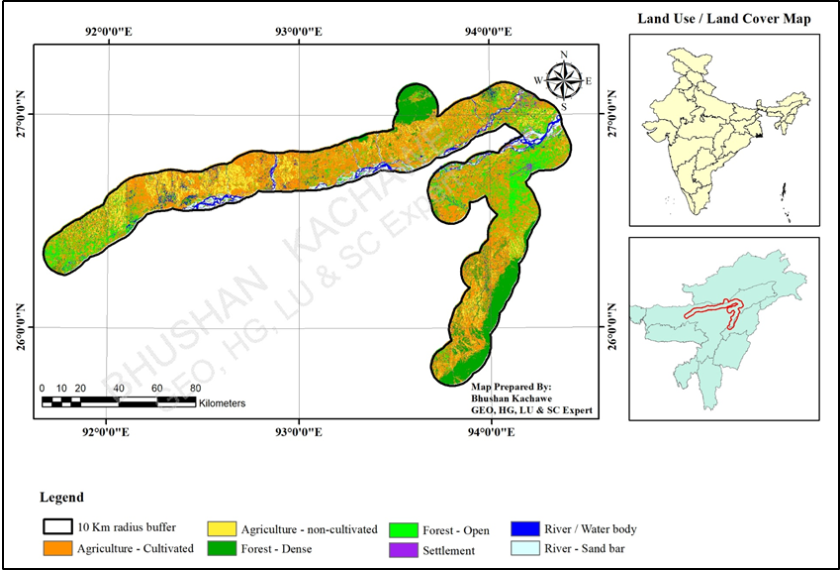
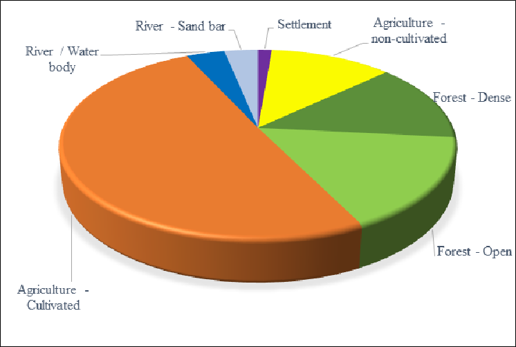
Land Use / Land Cover Assessment – IGGL, Northeast India
Satellite Remote Sensing and GIS-based LULC assessment incorporating project-area mapping, Sentinel-2 data interpretation, thematic classification and quantitative land-cover analysis.
02. Hydrology, Watershed & Flood Modelling
Catchment & LULC Analysis
SCS Curve Number (CN) Mapping
Flood Depth Mapping
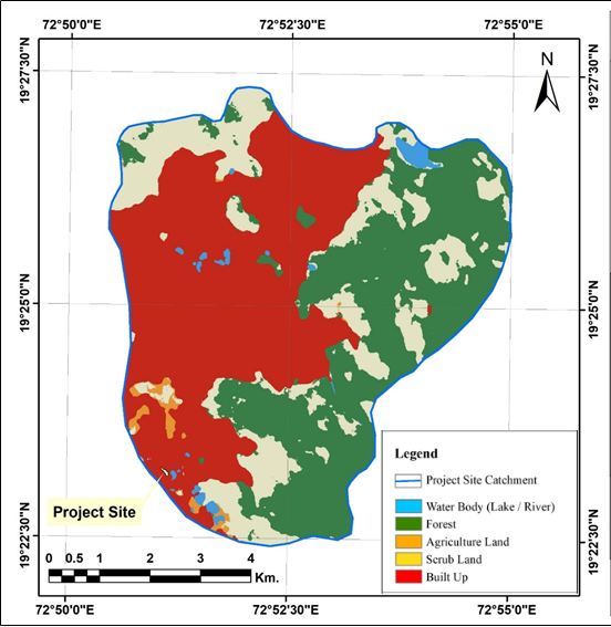
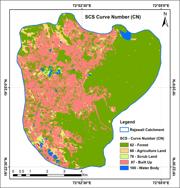
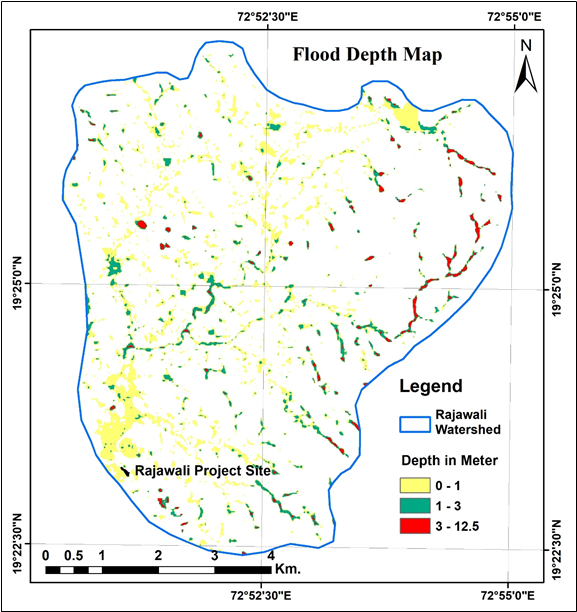
Hydrology & Flood-Risk Assessment – Rajawali, Vasai, Palghar
Integrated hydrological and flood-risk assessment using DEM-based catchment delineation, Land Use/Land Cover analysis, SCS Curve Number methodology and rainfall-runoff modelling to evaluate drainage characteristics and potential flood inundation.
HEC-RAS Model Setup for Hydrology & Flood-Risk Assessment
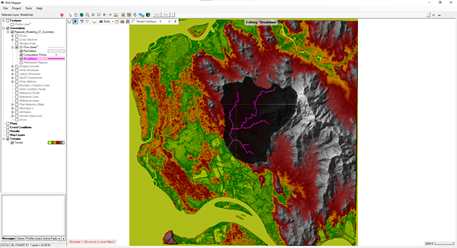
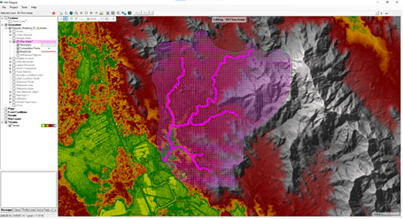
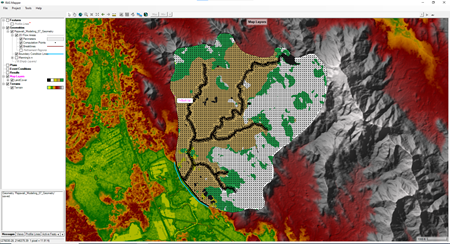
HEC-RAS 2D Model Simulation for Hydrology & Flood-Risk Assessment
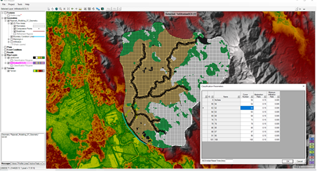
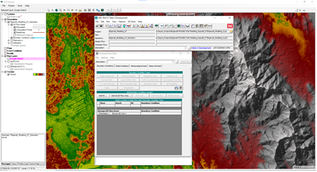
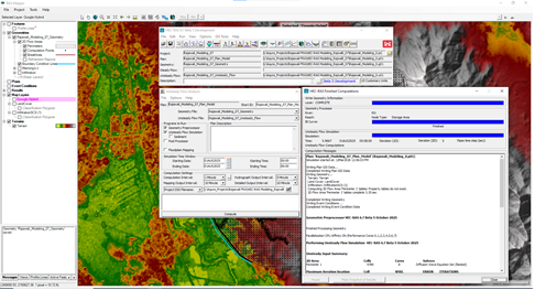
HEC-RAS 2D Rainfall–Runoff & Flood Modelling
HEC-RAS 2D rain-on-grid modelling incorporating terrain data, land-cover characteristics, surface roughness and rainfall inputs to simulate overland flow, drainage response and spatial variation in flood depth.
03. Hydrogeology & Water Resources
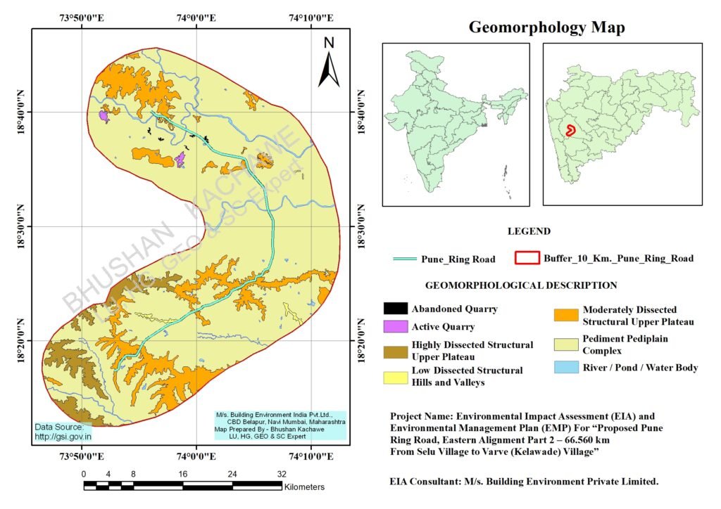
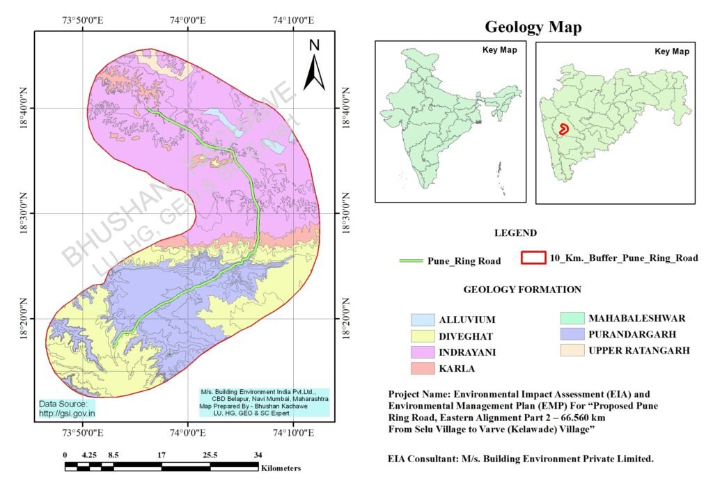
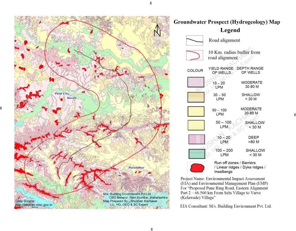
Hydrogeology study of Pune Ring Road